UAVs are the latest addition to the technology market, a must-have piece of kit for the filming, production and broadcasting industries. However, UAVs have also found their place in a more traditional field, becoming a key addition to the archaeologist’s tool kit.
UAVs offer a number of incredibly beneficial advantages for archaeologists. UAVs can produce a range of information, including everything from simple aerial photography to data rich 3D maps of potential and current dig sites. They also have the ability to cover large areas and remain time effective. As the quality of data and images captured by UAVs continually advance they are becoming more and more prominent across the industry.
Most importantly, UAVs also provide incredibly beneficial possibilities for aerial thermography. Thermal cameras can detect temperature differences invisible to the human eye. They are able to detect the difference in heat signatures of buried stone structures which can in turn identify archaeological settlements hidden beneath the surface. The speed with which UAVs can cover large areas also adequately fulfils the need to conduct the entire area of a survey in a short period of time in order to reduce variations in thermal values.
A recent project undertaken by archaeologist & University of Arkansas professor Jesse Casana and University of North Florida Professor John Kantner has demonstrated the incredible value of UAVs to archaeology. The duo used a UAV to reveal a buried Puebloan community in New Mexico. The thousand-year-old community, known as “Blue J”, consists of approx. 60 homes clustered around what was once a small spring. Footage obtained from the UAV identified unnatural circular shapes thought to be traditional architectural forms known as Kivas. From the ground, the structures were completely invisible. Thus demonstrating the huge advantage that UAVs can provide for archaeology.
Professor Kantner has emphasised the importance of using UAVs for thermal imagery, noting ‘the challenge for remotely sensing archaeological sites is to be able to see below the ground. Archaeologists use a variety of proven techniques that are ground-based, such as ground penetrating radar, magnetometry, and electrical resistivity, but those are time-consuming and expensive to use, and they cover relatively little area. Archaeologists have also been successful at using airborne technologies such as LIDAR, and these can often see through vegetation and cover vast areas (especially when satellite-based), but they’re not so good at seeing small sites nor can their sensing penetrate soils. The UAV-borne thermal cameras provide a nice balance of being able to see small sites covered with soil, and they record more area than ground-based approaches. Thermal cameras have been around for a long time, but UAVs can now provide the right combination of altitude and speed to use thermal approaches most effectively’.
University of Bristol Archaeology PhD student, Stephen Gray, has also highlighted the value of UAVs for aerial thermography. In response to the high degree of interest amongst the UK archaeological community in the possibilities for UAV usage in the field, Stephen has produced a ‘Guide to Good Practice’ for using UAVs in archaeological surveys. UAVs outfitted with sensors have the ability to hone in on the fundamental basis of archaeology; the landscape and features buried beneath the ground. Information provided by UAVs can also enable archaeologists to determine exactly where they should dig. Or as Stephen has pointed out, ‘taking aerial photographs may mean we don’t have to dig. Excavating is a last resort, as it destroys information. It may be that we can learn what we want to learn from the UAV survey without excavating’.
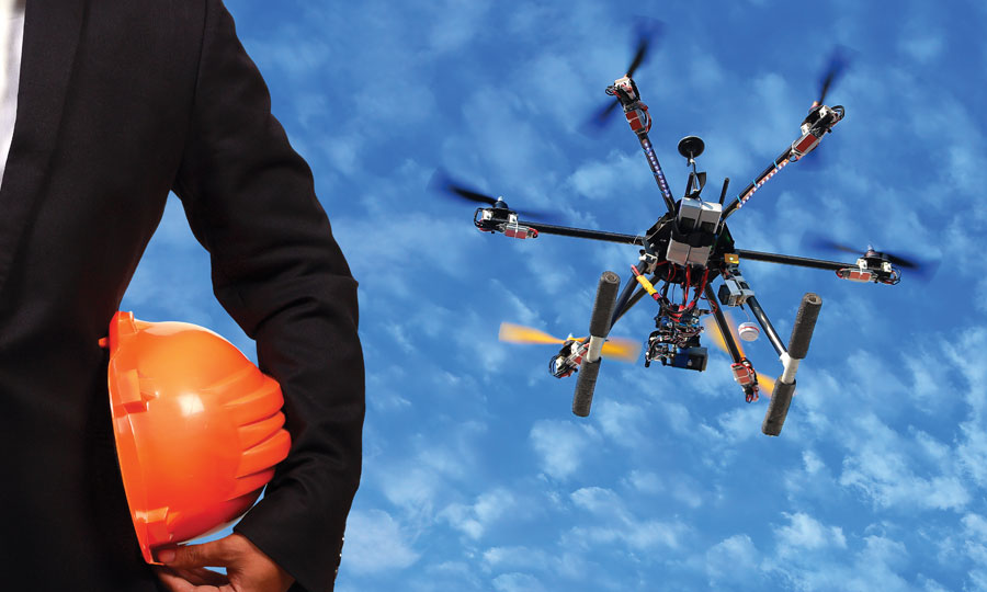
The technical specifications of UAVs also hold a number of advantages for their implementation in archaeology. Octocopters provide the stable platform necessary to be able to take very high-resolution images. Octocopters can also be controlled by on-board GPS linked to laptop-based software, which can control a UAV’s flight plan in order to systematically photograph the surface below.
On the benefits of utilizing UAVs within archaeology, Prof Kantner also commented that ‘UAVs will be a critical addition to the toolkit, and one that has the great advantage of being more accessible and less expensive than some of the more complex geophysical techniques. I don’t get to task satellites to record imagery for me, and renting a plane or helicopter gets really expensive. And neither are responsive to the kinds of urgent needs that emerge during archaeological fieldwork. UAVs will clearly be important for archaeology’. Prof Kantner also spoke on the future of UAVs for archaeology, noting that ‘UAVs are becoming more and more accessible to use for basic archaeological investigations. What’s exciting to me, and where the learning curve will continue to be, is the potential for UAVs to be remotely controlled and tasked for doing the kind of work we need. For example, being able to program a drone to systematically cover a defined landscape at different times of the day and with different cameras/sensors requires multiple forms of expertise that isn’t “out of the box,” but which can have a tremendous positive impact on archaeological practice’.
UAVs are also aiding data collection, enabling archaeologists to conduct types of surveys which have previously been impossible. Stephen Gray has commented upon the value UAVs are adding to the field, noting ‘in archaeology kites have been used for low-altitude photography for decades. You can imagine the benefits of not having to wait for the perfect wind and having no string to get in the photographs. Once you have a trusted UAV and camera, there is practically no cost to running the system and, as long as the CAA’s rules are observed, a UAV survey can be done with little or no planning. This means we can map areas which may (or may not) prove to be of interest’.
To hear more about the wealth of applications UAVs can be used for visit SkyTech 2015 UAV Conference & Exhibition, taking place 24th April 2015. For more information or to secure your free place visit the website www.skytechevent.com
Written by: Megan Roden & Jemima Khalli, Sky Tech Conference and Exhibition
About Air Age Media and RotorDrone Magazine’s Media Partnership with Sky Tech Conference and Exhibition:
Sky Tech Conference and Exhibition 2015 is a one-day event serving as a platform to define, understand and ultimately integrate UAVs into the commercial sector. SkyTech is completely free to attend and will bring together 60 exhibitors, 40 speakers and over 1000 attendees from a range of targeted industries. Air Age Media is proud to support and have a media presence at the 2015 Sky Tech Conference and Exhibition. RotorDrone Magazine is growing at a rapid pace and we are excited to extend our reach to London.
